Click on this image to view the Motorized Vehicle Use Map updates
Sedona AZ (September 16, 2013) – In a letter to the SedonaEye.com, Mike Dechter, a Lead planner with the Coconino National Forest, reminds the public of a free computer application available to it that is updated annually:
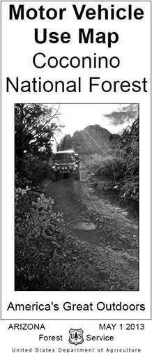
I’m writing to let you know that we have created a FREE color map of the Coconino National Forest for your smartphone or tablet device. This map is an improved version of our black-and-white Motor Vehicle Use Map (MVUM), which shows all of the routes and areas authorized for motor vehicle use.
This version is GPS-active, meaning you can see where you are on the map while driving or hiking through the National Forest. I have enclosed a 1-page instruction sheet to show you how to do this. It is completely FREE.
We want Forest visitors to be able to more easily understand which roads are designated open for motor vehicle use. By providing this map on your hand-held device, you will be able to clearly see and track whether you are on a route designated for motor vehicle use. Keeping your motor vehicle use to designated routes and areas is important for protecting valuable natural resources such as water quality, wildlife, archaeological sites, and scenic views.
We update and re-release the MVUM map each year in the Spring. Please check our website at http://go.usa.gov/PEa (case sensitive) for updates.
Thank you for your time and enjoy your National Forest.
Sincerely, Mike Dechter Lead planner with the Coconino National ForestFor the best in Arizona news and views, read www.SedonaEye.com daily!